Programmers and their toys! A passion for programming and all things boaty.
I grew up near one of the Norfolk Broads, and spent time canoeing, rowing and occasionally sailing there and on the river as a youngster.
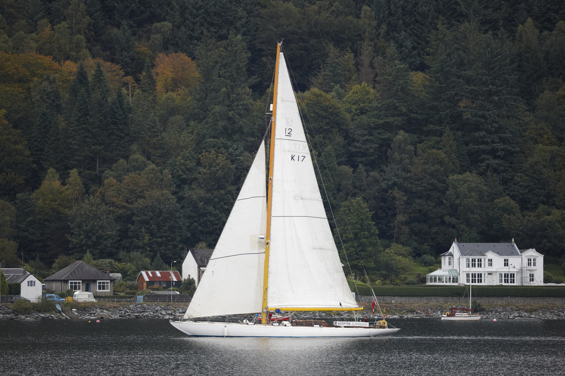
In more recent years I was thinking about getting back into sailing when I had the opportunity to help a friend a few times with delivering a boat that he was part owner of, to different parts of the UK. Not just any boat but the 1958 America’s Cup challenger called ‘Sceptre’! (picture attached).
Once on board I wondered why I hadn’t been doing this for years!
Giles [#webdeveloper #webmaster]
Having a boat is great fun, but if you travel any distance – especially at sea – you need some way of knowing where you are, firstly to work out which way you need to go to get to your destination, and secondly to do that safely.
The traditional way is via charts, tide tables, understanding of currents, wind speed, your speed etc etc. Most of the time this is not too difficult, but it would be much easier if there was something like Satnav for boats. Well there is, and it is called a chart plotter. As with everything boaty they are not cheap and like many others I have a tablet running an app that provides similar functionality.
However, there are several advantages to having a dedicated chart plotter, especially when it comes to integrating with other systems on a boat, so I was looking around for options when I came across a Facebook group dedicated to building chart plotters using a Raspberry Pi. Raspberry Pi is a single board computer which can be programmed to do whatever you want.
Looking at the cost of a putting a plotter together based around one of these looked like it was going to be around 25% of a commercial version; well that was the justification I used – any excuse to mess around with circuit boards and programming!
So, I order a Pi, a touchscreen, case and a AIS ‘hat’ – another board with additional functionality that plugs onto the Pi, in this case it is a device for getting information of larger boats around me (Automatic Identification System).
Then it was a matter of putting it all together, modding the case (OK hacking at it with a knife), a bit of programming, downloading some open source charts and “hey presto!” I had a working chart plotter.
There are a few more refinements I would like to make, but I have a working chart plotter!
I really enjoy the planning – especially with sea passages.
Working out all the tide times, tidal currents predicted wind etc and then there is always something to fix or maintain on the boat. Also, although I do not suffer too badly from hayfever, once you get out on the water the pollen count drops massively which is always nice.
And, once you are sailing then it’s just the crew and the boat and using nature to get to where you want to go.